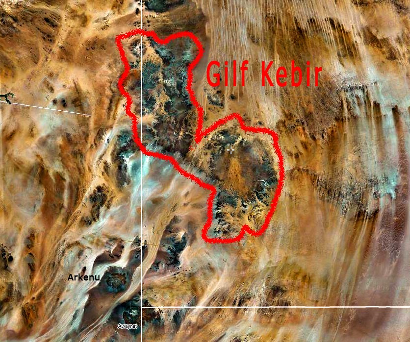
The
Gilf Kebir is split into two halves by the 'Gap', thus named by
Clayton, who only noticed the lower gap in the western cliffs in 1931. Subsequently
Penderel discovered from the air that the Gap continued in a broad valley, the southernmost tongue of the
Great Sand Sea. Where the valley reaches the western cliffs at it's southern end, a narrow wadi descends to the plains below. This is the
Aqaba, a driveable pass first tackled by
Almįsy in 1933.
© Lucio Andreetto -
See the
Egypt map with a complete picture set.
 Did you find this picture misplaced in the map?
Do you think that picture title or description might be wrong?
Would you like to append your own commentary? Contact Us!

 Did you find this picture misplaced in the map?
Do you think that picture title or description might be wrong?
Would you like to append your own commentary? Contact Us!