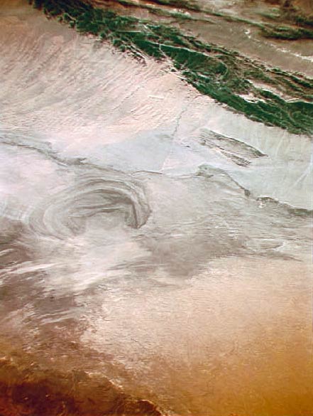
Now a dry lake when times ago it was feed by the Tarim He river. The bottom has been explored by Sven Hedin in an expedition of 1927-35 and then by Folke Bergman in 1935. Finally it was used as a polygon for the nuclear tests in China. -
See the
Silk Road map with a complete picture set.
 Did you find this picture misplaced in the map?
Do you think that picture title or description might be wrong?
Would you like to append your own commentary? Contact Us!

 Did you find this picture misplaced in the map?
Do you think that picture title or description might be wrong?
Would you like to append your own commentary? Contact Us!